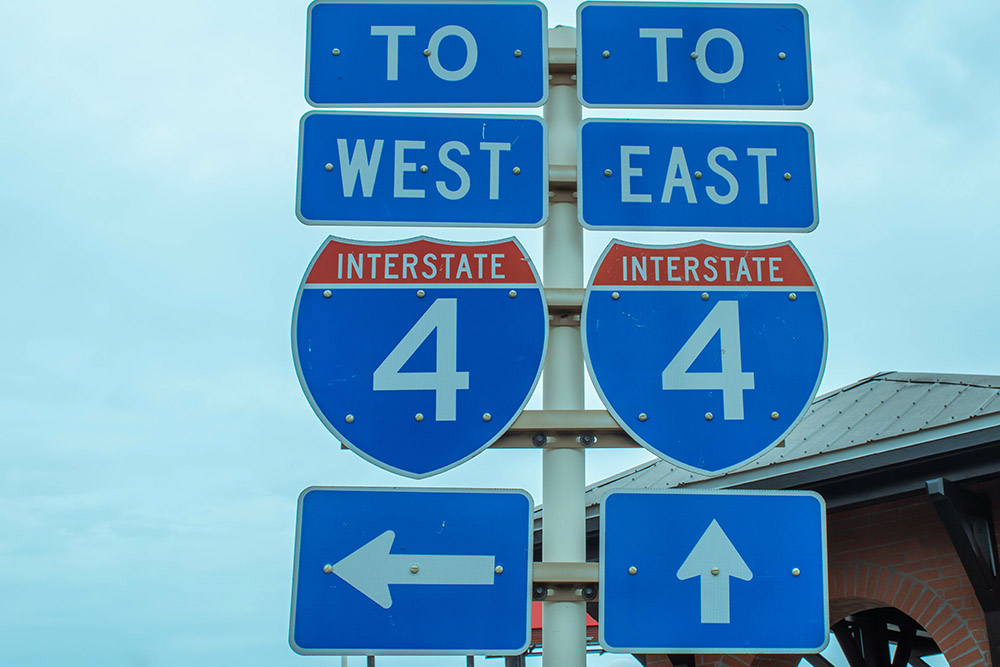
Interstate 4, or I-4, is a highway in Florida that begins in Tampa and ends in Daytona Beach. I-4 is notorious for its traffic jams as locals, tourists, and freight travel along this high growth corridor. To find solutions to the traffic congestion issues plaguing I-4, a team of UFTI researchers are working to create a framework that will help manage congestion and keep people safe.
Myra Monreal, a transportation engineering doctoral student at UF, is one of the researchers on this project. She is pleased the Florida Department of Transportation (FDOT) took the initiative to include corridor stakeholders in developing a “Before” and “After” analysis for the emerging technologies applications.
“Since the researchers live and work in this corridor, we all have first-hand knowledge of some of the issues with I-4,” she said. “We are fortunate that I-4 was selected the Advanced Transportation and Congestion Management Technologies Deployment (ATCMTD) grant on emerging technologies.”
The I-4 Florida’s Regional Advanced Mobility Elements project, or FRAME, as it is colloquially known, utilizes innovative technologies to tackle this issue. The components of the “Before” study included the use of automated traffic signal performance measures, Bluetooth detection for travel time information, and strategies to prioritize freight and transit vehicles.
But it’s not all about the amazing technology that the researchers are utilizing in the “Before” study; they are also gathering millions of data points to help them identify trouble spots along the I-4 corridor where the traffic jams are occurring, especially along the theme parks. Data collection and analysis were conducted in collaboration with the University of Central Florida, the University of South Florida/Center for Urban Transportation Research, and the Florida Polytechnic University.
To tackle the safety issue, collaborators from UCF provided an analysis of crash data along I-4, revealing that more traffic accidents tend to occur along this corridor and emphasizing the need for creating road and intersection safety measures.
Due to the enormous amount of data collected by the research team, UFTI researchers created a data management plan that stressed the importance of data validation and consistency checks. The partner universities provided the metadata, which was stored in an online cloud database, and the data that was processed and analyzed was then uploaded to an ITS DataHub.
“The breadth and depth of the data collected for future researchers is so vast it required a true partnership amongst the local governments, Regional Traffic Management Centers (RTMCs), four FDOT districts, and universities that traverse the I-4 corridor,” Monreal said.
Data plugged into microscopic traffic simulation models by Florida Polytechnic University, one of the partners in this study, helps provide insights into the benefits of using connected vehicle technologies to make improvements in traffic flow and safety.
By utilizing technology to ameliorate some of the transportation field’s most pressing issues, such as congestion and safety, traffic management operations professionals and engineers, city officials, and others will be able to ensure that the roads we all travel on today and in the future will flow smoothly and safely.