
These days, road networks in our cities contain a variety of smart and connected infrastructure, which generate an abundance of Big Data. This data can be processed to improve traffic flow and safety for both vehicles and pedestrians. At the UFTI, transportation and computer science engineers are working on a Florida Department of Transportation (FDOT) grant-funded project that uses Big Data and Artificial Intelligence to improve safety and operations at road intersections.
The project is titled “Smart Intersection Lab: Using Big Data Analytics and Artificial Intelligence for Analyzing Video, LIDAR, and ATSPM Data to Determine Traffic Behavior on Intersections to Improve Operations and Safety”.
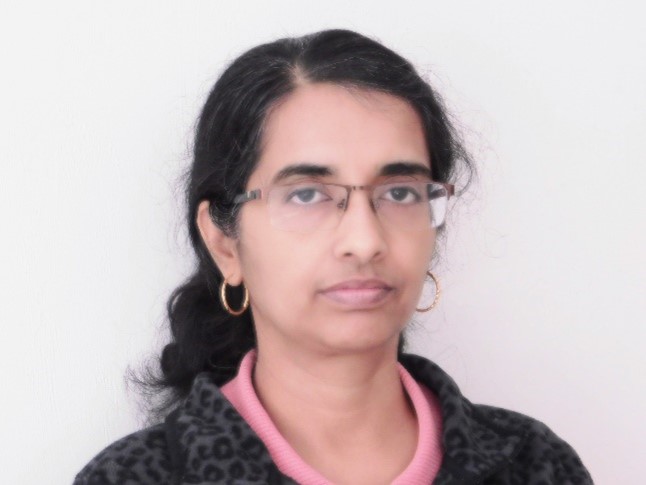
Dr. Tania Banerjee is one of the researchers on this project. She is a research assistant scientist working with Dr. Sanjay Ranka, one of the principal investigators. Banerjee has been tasked with creating a system to gather and process data from video and detector data at traffic intersections. She is locating where possible incidents are likely to occur.
“My role in this project is to build a system to collect and process traffic videos, detector activations, and apply data analytics on the vehicle and pedestrian trajectories generated by processing videos from fisheye cameras installed at traffic intersections,” she said. “As a result, we have been able to detect and analyze instances of anomalous behaviors and near misses at the intersection.
Banerjee is also using the data to compute safety metrics such as post-encroachment time (PET) and time-to-collision (TTC). PET is the time difference between a vehicle leaving an area and another vehicle entering that same area. On the other hand, TTC is the time required for two vehicles to collide if they continue on their respective paths at their current speeds. Both PET and TTC are metrics used in the traffic safety analysis.

The trajectories that are captured on video are clustered into major movement patterns. These clusters help detect anomalies, such as when vehicles are driving in the wrong lane or making a lane change within the intersection. By analyzing these intersection videos, Banerjee and the research team can also aggregate vehicle counts by lanes and approaches. These may be used as input to the Highway Capacity Software to compute delay and for the intersection’s level-of-service analysis.
By combining the paths of a moving object (vehicle or pedestrian) with the traffic signal status (red, green, or yellow light) at an intersection, the researchers can also detect whether the object’s movement within the intersection is permitted to proceed or stop.
“In other words, we detect all cases of red-light violations for vehicles, and pedestrians stepping onto a crosswalk at a no-walk signal,” Banerjee said.
The research project is expected to generate end-to-end video collection and processing software that will collect and process videos from the fisheye cameras installed on traffic lights at intersections. The software will be tested at intersections for real-time monitoring and the generation of safety and performance metrics. The researchers expect that traffic engineers will benefit from this software because it will readily assist them in monitoring and analyzing intersections.