
By Ines Aviles-Spadoni, M.S., M.A., Research/Communications Coordinator, UFTI
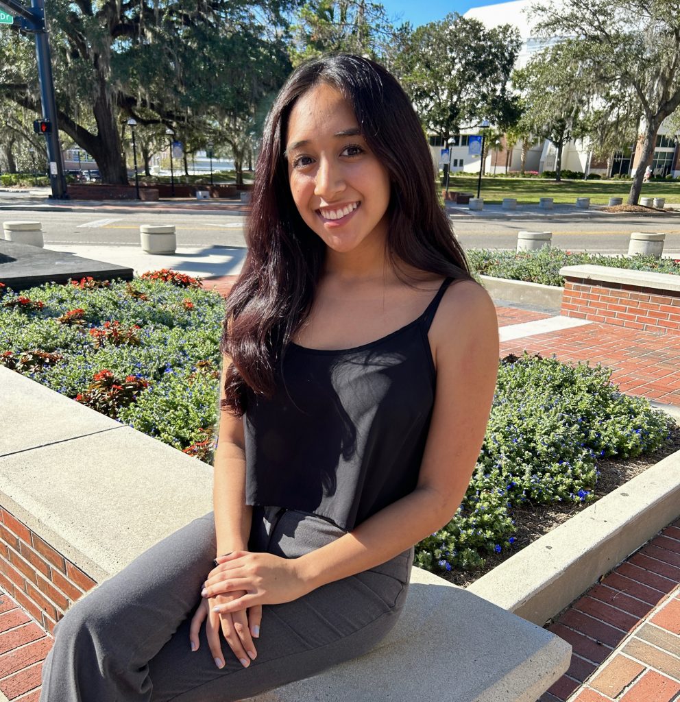
Transportation is truly interdisciplinary, combining engineering with data science, public policy, human behavior, and more. For Ally Recalde, a first-year doctoral student in the UF Department of Civil Engineering, that blending of disciplines felt like the best place to put her geography skills to work.
“Geography and transportation are so much more connected than people think—including me before I made the switch,” Recalde said. “Both disciplines share similar ultimate goals: ensuring human mobility is safe, accessible, and efficient. They just approach those goals from different angles.”
Recalde is a triple Gator, completing her bachelor’s degree at UF, including a master’s in the Department of Geography, and now back for her doctoral degree. Her master’s program focused on flood transition zones – areas where riverine and coastal flooding interact. Recalde used hybrid modeling and climate-adjusted scenarios to assess how these zones shift under future sea level rise and discharge conditions.
“My work combined large-scale geospatial data analysis, hydrologic modeling, and sensitivity testing, which taught me the value of connecting spatial and environmental processes through data-driven methods,” she said.
As a doctoral student, Recalde is working with her graduate adviser, Xilei Zhao, Ph.D., associate professor in the UF Department of Civil Engineering, on several projects related to human mobility and transportation data analytics, focusing on understanding and reducing errors in large-scale mobile location data. Recalde’s research focuses on how GPS and mobile data can be used to improve travel behavior modeling, evacuation planning, and transportation access. She wants to make sure data accurately represents how people move across space, time, demographics, and behavior.
“Ally is an independent and highly motivated student who applies her GIS skills and geographic knowledge to advance understanding of GPS data biases and contribute to transportation infrastructure planning,” Zhao said.
But Recalde admits the shift from geography to civil engineering was a big “leap” for her. At first, feeling that she was stepping into an entirely different world, she soon realized that the data-driven nature of transportation engineering “made that step feel natural.” She credits her graduate adviser, Zhao, for that.

“Dr. Zhao made that transition incredibly smooth,” she said. “Her research interests in GPS and mobility data perfectly bridged the gap between geography and transportation for me. I had been working with her since my undergrad, so that long-term connection and trust gave me the confidence to take the leap. She always offers thoughtful advice and makes it easy to ask questions or share uncertainties, which made it easier for me to adjust and see how my skills fit within a new discipline.”
Now that she is in a doctoral program, Recalde hopes to create better analytical tools to evaluate large-scale mobility data – tools that will be more true to how people in communities move. She wants to bring together research, practice, and policy so that cities can create transportation systems that are more resilient and accessible.
“I hope my work helps make transportation systems that are resilient and serve a variety of people,’ she said. “By identifying and correcting spatial biases in mobility data, I want to help ensure that everyone is accurately represented in the datasets that inform infrastructure and emergency planning. Ultimately, I want my work to support data-informed decisions that improve accessibility to essential businesses and safety for all communities.”
Outside of her doctoral studies and research responsibilities, Recalde makes sure to balance her academic life with fun activities. She likes to spend time with her friends, try out new restaurants in Gainesville, Florida, listen to music, go to an escape room, play ping pong and pool, and she loves to cook. She even helps students who are taking a GIS course.
“I’m really into electronic dance music—if there’s a festival nearby or a free DJ board lying around, I’ll probably be there mixing and having a great time,” she said. “I actually tutor a GIS course on the side—it helps me stay connected to geography, gain experience on another side of academia, and keep my GIS skills sharp, which I can now apply across both disciplines.”